
FIELD NOTEBOOK · UNDERWATER PHOTOGRAMMETRY
Lock 21,
measured underwater.
Every dive, every setting, every zone, up to the 3D model of the submerged lock.
SURVEYIN PROGRESS
DEPTH
60 ft
18.3 m
DIVES
47
UNDERWATER
3 d 13 h
ZONES ONLINE
12 / 25
LATEST
Z16
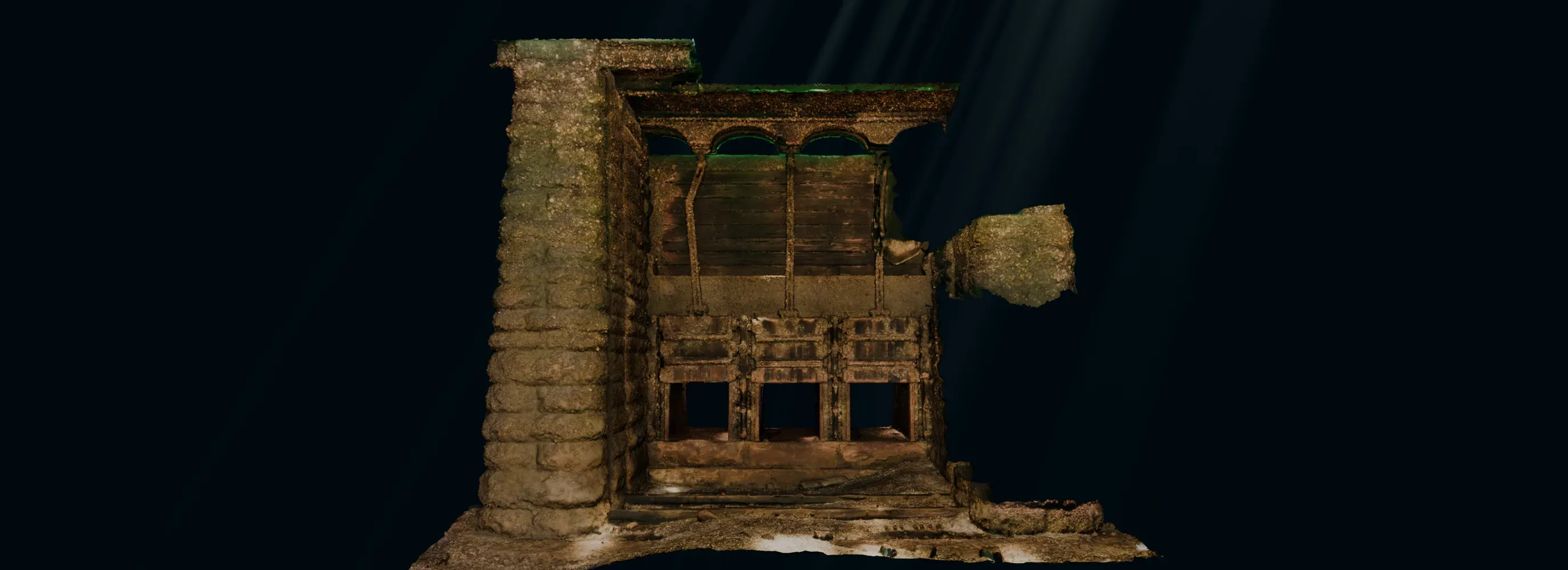 ZONE 12 · 13 M FACES · TEX 12 464 PX
What this site is for
Lock 21 has been underwater since 1958, at Dickinson's Landing, one of the Lost Villages of the St. Lawrence. I set out to digitize the whole structure in 3D, zone by zone, with photogrammetry. This site is the field notebook: it shows the lock to people who don't dive, helps divers plan their dives, and documents the method so others can do it elsewhere.
About the project →Where to start
Three ways in, depending on what brings you here.
From the dive log
All 47 dives →Cleaning zone 14
Cleaning zone 13
Cleaning zone 13
Total: 47 dives · 3 d 13 h 14 min